


Storm Watch: Latest weather bulletin says conditions will worsen

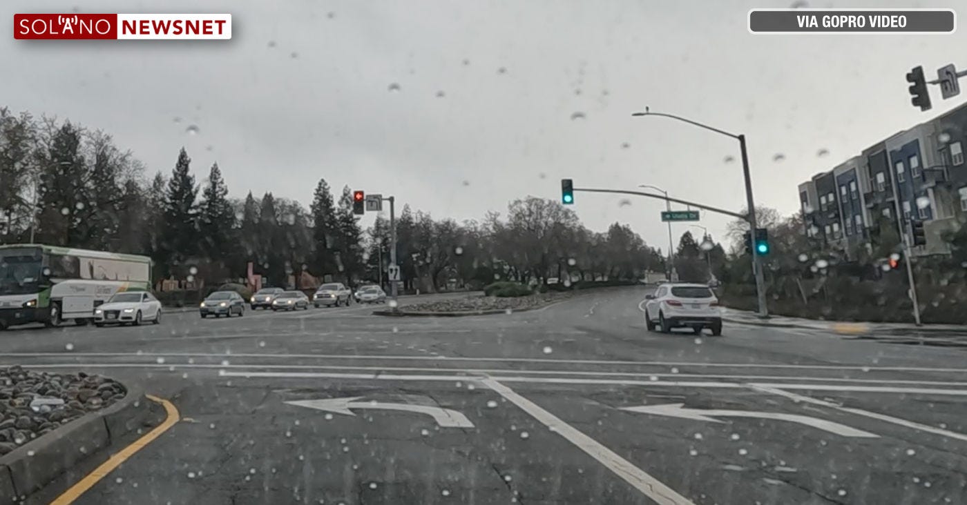
Photo: A still frame from a GoPro video shows conditions in Vacaville around 3 p.m. on Wednesday, January 4, 2023. (Image by Solano NewsNet)
The latest bulletin from the National Weather Service’s Sacramento office says the storm has started, and it will intensify as the night progresses.
From the bulletin:
“Don't be fooled by the relatively quiet weather we are seeing this afternoon. Our storm is still looking impressive on satellite, and we will begin to see more impacts as we head into the evening and overnight. We saw rain move through the region this morning associated with warm air advection dropping 0.10-0.50 inches of rain.
"This storm will have multiple impacts, but the biggest will be the strong winds we will see. They have been slower to develop in our area, but we are seeing widespread gusts 30-50 mph to our west along the coast, with some gusts 50-75 mph. These strong winds will move into our area during the afternoon and evening as the surface gradient tightens ahead of the approaching cold front. The strongest wind gusts are expected between 7 pm and 1 am with widespread gusts 45-55 mph in the Valley with gusts as high as 65 mph over the northern Sacramento Valley. Gusts over the mountains will be 45-70 mph, with the highs gusts over the peaks. Winds will gradual diminish overnight, but will remain breezy into the early part of tomorrow afternoon.

"Widespread rain is going to move back into the area this afternoon, starting over the coastal range, as the cold front pushes into the region. Rain will continue to overspread the area during the evening and overnight and will be moderate to heavy. The heaviest rainfall rates are expected between 4 pm and 7 am. These rainfall rates could approach the one-hour guidance for some of the burn scars, and the Flash Flood Watch continues for those burn scars. This is also the period of greatest risk for local flooding of roadways. Activity will become more showery behind the front by around daybreak. Local creeks, streams, and rivers will continue to rise after the rain moves out. Showers will become more widespread once again during the late morning into the afternoon as a vort max swings through with the trough axis. We do see some weak instability build in later this evening into tomorrow. The instability looks very marginal and that should limit thunderstorm chances, but a few embedded thunderstorms will be possible."
For the latest updates, click or tap here.